TYPE:
SENSOR
LAYER:
DS_PHR1B_201403081036140_FR1_PX_E007N48_0914_01934
FORMAT:
DIMAP
RASTER:
image/jp2
General Information
Map Name
Geometric Processing Level
Radiometric Processing Level
BASIC
Image dimensions
Number of columns
40000
Number of rows
42972
Number of spectral bands
1
Dataset framing
Vertice
Longitude (DEG)
Latitude (DEG)
Row
Col
#1
7.575848154533253
48.66251631908951
#2
7.849883753860945
48.6628169154215
#3
7.849307828798747
48.46796401045545
#4
7.576343589633964
48.46777841851833
Dataset sources
PHR
Coordinate Reference System
Projected Coordinate System
Geocoding tables identification
EPSG(6.3)
Production
Production Date
2014-04-01T11:13:08.525
Job identification
862022201-002
Dataset Producer Identification
Astrium Services / Spot Image
Producer link
http://www.astrium-geo.com
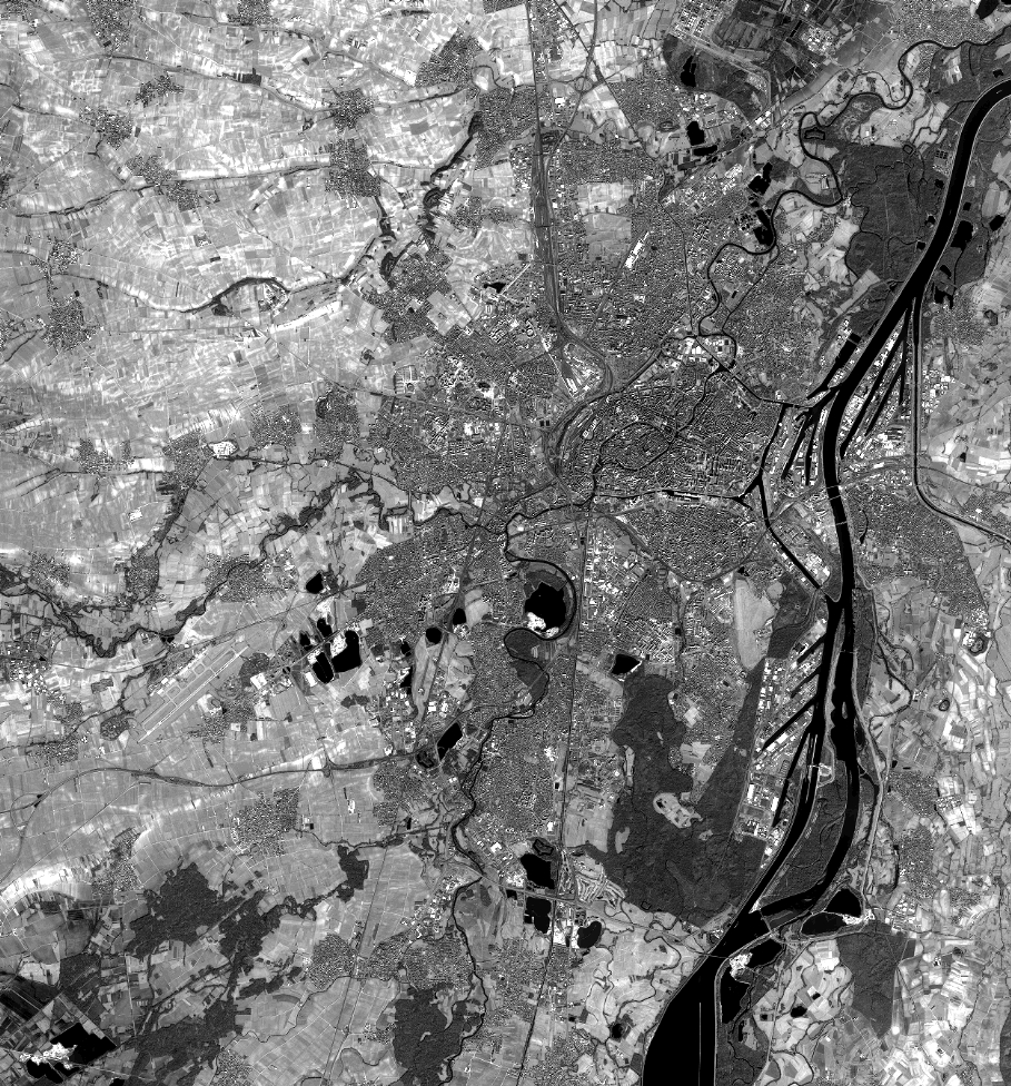
Quicklook
Copyright