TYPE:
SENSOR
LAYER:
DS_PHR1B_201309021529488_FR1_PX_W073N19_1018_01282
FORMAT:
DIMAP
RASTER:
image/jp2
General Information
Map Name
Geometric Processing Level
Radiometric Processing Level
BASIC
Image dimensions
Number of columns
33388
Number of rows
28296
Number of spectral bands
1
Dataset framing
Vertice
Longitude (DEG)
Latitude (DEG)
Row
Col
#1
-72.28369002039032
19.79747089721116
#2
-72.12402802548185
19.79717821939666
#3
-72.12425682820212
19.67119102902146
#4
-72.28367211536739
19.67148974526312
Dataset sources
PHR
Coordinate Reference System
Projected Coordinate System
Geocoding tables identification
EPSG(6.3)
Production
Production Date
2013-09-06T15:22:16.114
Job identification
667111101-003
Dataset Producer Identification
Astrium Services / Spot Image
Producer link
http://www.astrium-geo.com
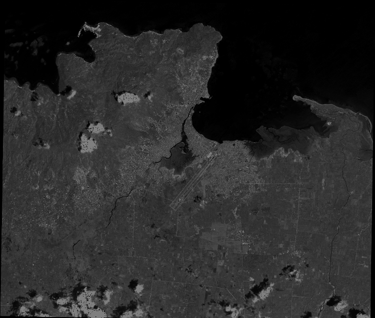
Quicklook
Copyright