TYPE:
SENSOR
LAYER:
DS_PHR1B_201309021529488_FR1_PX_W073N19_1018_01282
FORMAT:
DIMAP
RASTER:
image/jp2
General Information
Map Name
Geometric Processing Level
Radiometric Processing Level
BASIC
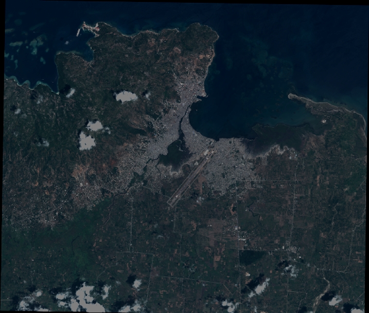
Image dimensions
Number of columns
8349
Number of rows
7074
Number of spectral bands
4
Dataset framing
Vertice
Longitude (DEG)
Latitude (DEG)
Row
Col
#1
-72.28370678551141
19.79747762444313
1
#2
-72.12400653172604
19.79718487347268
#3
-72.1242353914904
19.67119765552861
#4
-72.28368885165969
19.67149644089961
Dataset sources
PHR
Coordinate Reference System
Projected Coordinate System
Geocoding tables identification
EPSG(6.3)
Production
Production Date
2013-09-06T15:24:40.323
Job identification
667111101-006
Dataset Producer Identification
Astrium Services / Spot Image
Producer link
http://www.astrium-geo.com
Quicklook
Copyright