TYPE:
SENSOR
LAYER:
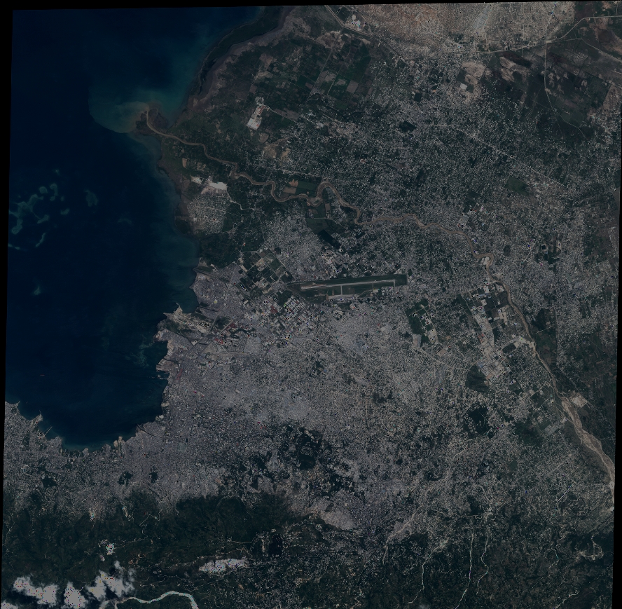
DS_PHR1A_201307061525270_FR1_PX_W073N18_0914_01748
FORMAT:
DIMAP
RASTER:
image/jp2
General Information
Map Name
Geometric Processing Level
Radiometric Processing Level
BASIC
Image dimensions
Number of columns
39088
Number of rows
38266
Number of spectral bands
4
Dataset framing
Vertice
Longitude (DEG)
Latitude (DEG)
Row
Col
#1
-72.40059260685953
18.66545655865936
1
#2
-72.20777802624943
18.65984498756275
#3
-72.20709097038949
18.48289633885179
#4
-72.39922194818249
18.48767514239157
Dataset sources
PHR
Coordinate Reference System
Projected Coordinate System
Geocoding tables identification
EPSG(6.3)
Production
Production Date
2013-09-06T15:22:10.197
Job identification
667089101-002
Dataset Producer Identification
Astrium Services / Spot Image
Producer link
http://www.astrium-geo.com
Quicklook
Copyright