TYPE:
SENSOR
LAYER:
DS_PHR1A_201304241031490_FR1_PX_E008N48_0119_01798
FORMAT:
DIMAP
RASTER:
image/jp2
General Information
Map Name
Geometric Processing Level
Radiometric Processing Level
BASIC
Image dimensions
Number of columns
8785
Number of rows
9973
Number of spectral bands
4
Dataset framing
Vertice
Longitude (DEG)
Latitude (DEG)
Row
Col
#1
7.862693589943333
48.8383938860979
1
#2
8.107155681456071
48.83632035270287
#3
8.106573145225862
48.6528061949444
#4
7.863278321196475
48.65465170816685
Dataset sources
PHR
Coordinate Reference System
Projected Coordinate System
Geocoding tables identification
EPSG(6.3)
Production
Production Date
2013-04-29T13:41:37.128
Job identification
617450101-002
Dataset Producer Identification
SISA
Producer link
http://www.spotimage.fr
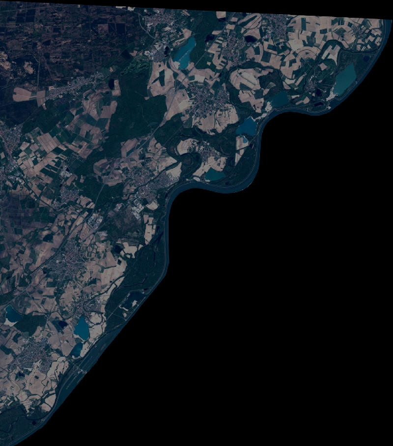
Quicklook
Copyright