TYPE:
SENSOR
LAYER:
DS_PHR1A_201209281033035_SE1_PX_E006N45_0302_01140
FORMAT:
DIMAP
RASTER:
image/jp2
General Information
Map Name
Geometric Processing Level
Radiometric Processing Level
BASIC
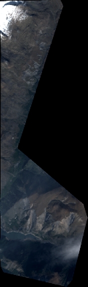
Image dimensions
Number of columns
1922
Number of rows
6254
Number of spectral bands
4
Dataset framing
Vertice
Longitude (DEG)
Latitude (DEG)
Row
Col
#1
6.149235301825415
45.13981491352505
1
#2
6.198525428807619
45.13976832727026
#3
6.199858737827241
45.02450809155718
#4
6.146671629429833
45.02238357725579
Dataset sources
PHR
Coordinate Reference System
Projected Coordinate System
Geocoding tables identification
EPSG(6.3)
Production
Production Date
2016-06-01T12:59:06.335
Job identification
1802600101-002
Dataset Producer Identification
AIRBUS DS GEO
Producer link
http://www.geo-airbusds.com
Quicklook
Copyright