TYPE:
SENSOR
LAYER:
DS_PHR1A_201209161025546_FR1_PX_E007N48_0503_02399
FORMAT:
DIMAP
RASTER:
image/jp2
General Information
Map Name
Geometric Processing Level
Radiometric Processing Level
BASIC
Image dimensions
Number of columns
7441
Number of rows
13357
Number of spectral bands
4
Dataset framing
Vertice
Longitude (DEG)
Latitude (DEG)
Row
Col
#1
7.295053667266267
48.29187317300022
1
#2
7.535223512423613
48.27028660580797
#3
7.532761920847368
47.9531010632645
#4
7.294706176248213
47.97483987222048
Dataset sources
PHR
Coordinate Reference System
Projected Coordinate System
Geocoding tables identification
EPSG(6.3)
Production
Production Date
2013-02-19T13:40:11.830
Job identification
605051101-002
Dataset Producer Identification
SISA
Producer link
http://www.spotimage.fr
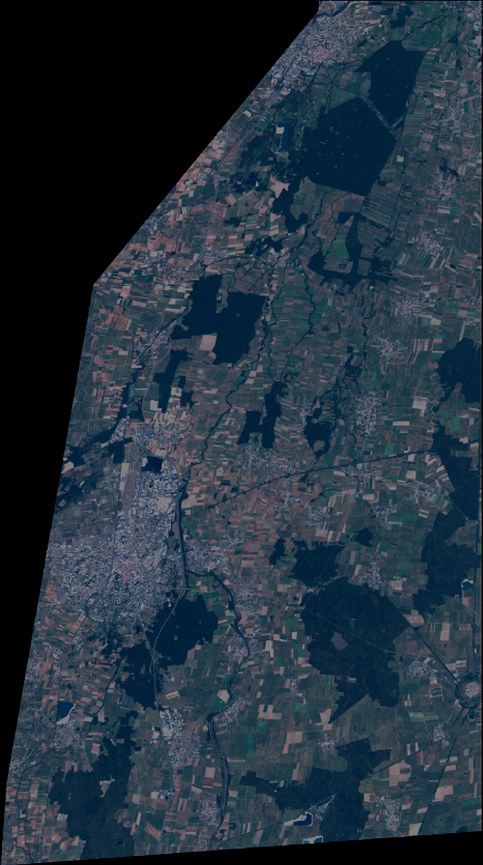
Quicklook
Copyright