TYPE:
SENSOR
LAYER:
DS_PHR1A_201209091029400_FR1_PX_E007N48_0714_04664
FORMAT:
DIMAP
RASTER:
image/jp2
General Information
Map Name
Geometric Processing Level
Radiometric Processing Level
BASIC
Image dimensions
Number of columns
7627
Number of rows
25730
Number of spectral bands
4
Dataset framing
Vertice
Longitude (DEG)
Latitude (DEG)
Row
Col
#1
7.420975350821985
48.85858275406073
1
#2
7.653006644655772
48.84697787429895
#3
7.650979307245019
48.24290262079627
#4
7.424904547812387
48.25276507618865
Dataset sources
PHR
Coordinate Reference System
Projected Coordinate System
Geocoding tables identification
EPSG(6.3)
Production
Production Date
2012-09-17T15:07:53.355
Job identification
571727101-002
Dataset Producer Identification
SISA
Producer link
http://www.spotimage.fr
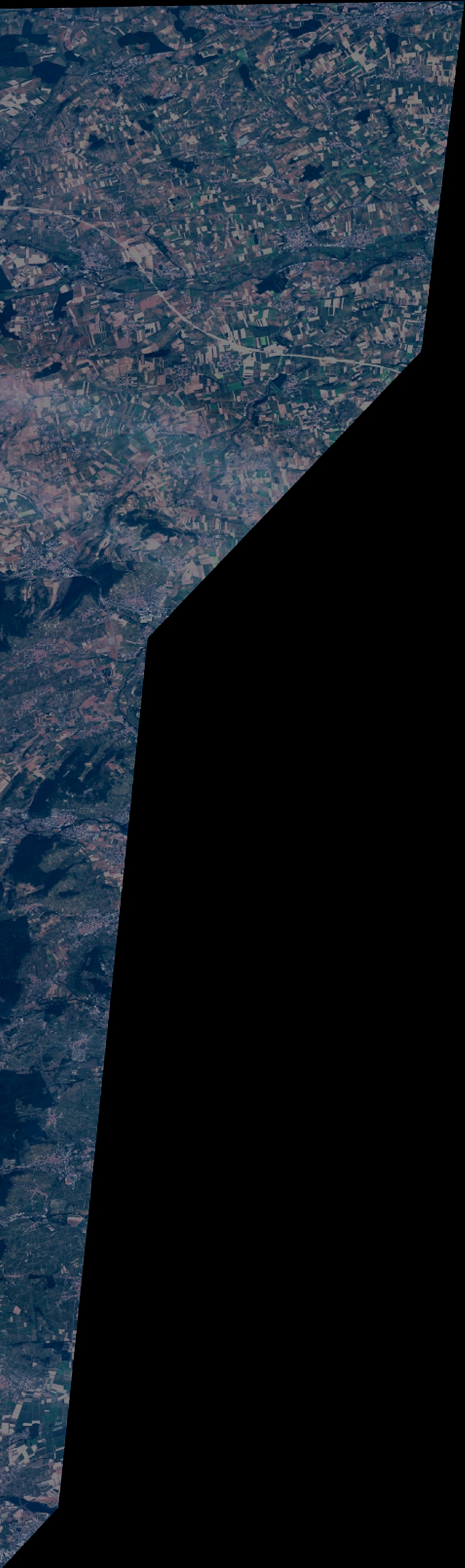
Quicklook
Copyright