TYPE:
SENSOR
LAYER:
DS_PHR1A_201209091028380_FR1_PX_E007N48_0319_01703
FORMAT:
DIMAP
RASTER:
image/jp2
General Information
Map Name
Geometric Processing Level
Radiometric Processing Level
BASIC
Image dimensions
Number of columns
10375
Number of rows
9382
Number of spectral bands
4
Dataset framing
Vertice
Longitude (DEG)
Latitude (DEG)
Row
Col
#1
7.095377494558393
48.86098683870989
1
#2
7.397355877743734
48.86487618465279
#3
7.39608090748322
48.68777610737144
#4
7.096557114646767
48.68230873110096
Dataset sources
PHR
Coordinate Reference System
Projected Coordinate System
Geocoding tables identification
EPSG(6.3)
Production
Production Date
2012-09-17T15:00:07.061
Job identification
571730101-002
Dataset Producer Identification
SISA
Producer link
http://www.spotimage.fr
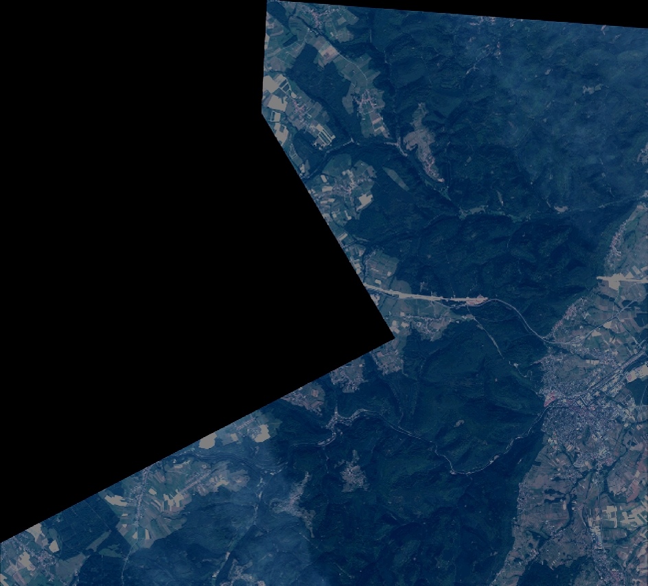
Quicklook
Copyright