TYPE:
SENSOR
LAYER:
DS_PHR1A_201208141028585_FR1_PX_E007N48_0914_02678
FORMAT:
DIMAP
RASTER:
image/jp2
General Information
Map Name
Geometric Processing Level
Radiometric Processing Level
BASIC
Image dimensions
Number of columns
9317
Number of rows
14797
Number of spectral bands
4
Dataset framing
Vertice
Longitude (DEG)
Latitude (DEG)
Row
Col
#1
7.605194257904715
48.70925974830569
1
#2
7.864205069464033
48.70980359607312
#3
7.863058335887598
48.43673734323395
#4
7.606435544727495
48.43448537573156
Dataset sources
PHR
Coordinate Reference System
Projected Coordinate System
Geocoding tables identification
EPSG(6.3)
Production
Production Date
2012-08-30T15:13:04.558
Job identification
569771101-002
Dataset Producer Identification
SISA
Producer link
http://www.spotimage.fr
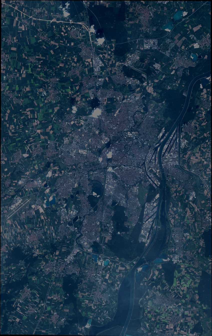
Quicklook
Copyright