TYPE:
SENSOR
LAYER:
DS_PHR1A_201207191533284_SE1_PX_W073N18_0914_01934
FORMAT:
DIMAP
RASTER:
image/jp2
General Information
Map Name
Geometric Processing Level
Radiometric Processing Level
BASIC
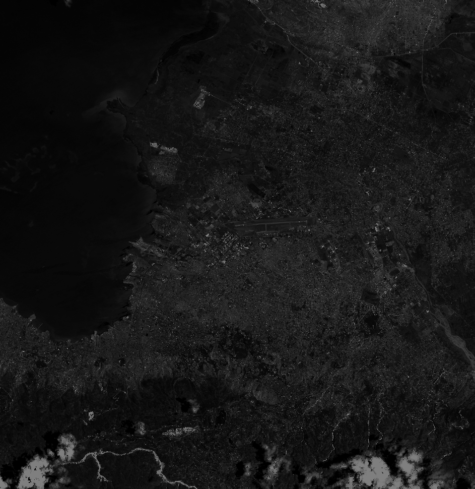
Image dimensions
Number of columns
41500
Number of rows
42680
Number of spectral bands
1
Dataset framing
Vertice
Longitude (DEG)
Latitude (DEG)
Row
Col
#1
-72.40154034797126
18.66978792089994
#2
-72.21078827456799
18.66856528748361
#3
-72.21109865672801
18.47387533480126
#4
-72.40192637961032
18.47585457753921
Dataset sources
PHR
Coordinate Reference System
Projected Coordinate System
Geocoding tables identification
EPSG(6.3)
Production
Production Date
2012-07-30T16:07:00.710
Job identification
565234101-002
Dataset Producer Identification
SISA
Producer link
http://www.spotimage.fr
Quicklook
Copyright