TYPE:
SENSOR
LAYER:
DS_PHR1A_201207191533500_SE1_PX_W073N18_0914_01934
FORMAT:
DIMAP
RASTER:
image/jp2
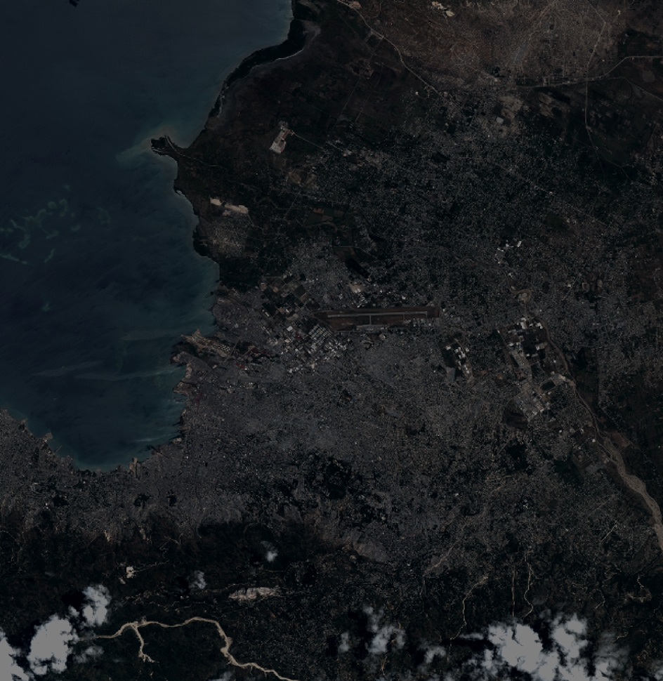
General Information
Map Name
Geometric Processing Level
Radiometric Processing Level
BASIC
Image dimensions
Number of columns
10375
Number of rows
10670
Number of spectral bands
4
Dataset framing
Vertice
Longitude (DEG)
Latitude (DEG)
Row
Col
#1
-72.40247334426515
18.66848432680435
1
#2
-72.20999947541736
18.67123640714229
#3
-72.21035986397506
18.47487661704894
#4
-72.40303857049139
18.47274392462745
Dataset sources
PHR
Coordinate Reference System
Projected Coordinate System
Geocoding tables identification
EPSG(6.3)
Production
Production Date
2012-07-30T16:06:09.151
Job identification
565234101-006
Dataset Producer Identification
SISA
Producer link
http://www.spotimage.fr
Quicklook
Copyright