TYPE:
SENSOR
LAYER:
DS_PHR1A_201207191533284_SE1_PX_W073N18_0914_01934
FORMAT:
DIMAP
RASTER:
image/jp2
General Information
Map Name
Geometric Processing Level
Radiometric Processing Level
BASIC
Image dimensions
Number of columns
10375
Number of rows
10670
Number of spectral bands
4
Dataset framing
Vertice
Longitude (DEG)
Latitude (DEG)
Row
Col
#1
-72.40154725680897
18.66979477388261
1
#2
-72.21079519069984
18.668572284168
#3
-72.21110554256266
18.47388233440568
#4
-72.4019333968632
18.47586165067717
Dataset sources
PHR
Coordinate Reference System
Projected Coordinate System
Geocoding tables identification
EPSG(6.3)
Production
Production Date
2012-07-30T16:06:42.613
Job identification
565234101-005
Dataset Producer Identification
SISA
Producer link
http://www.spotimage.fr
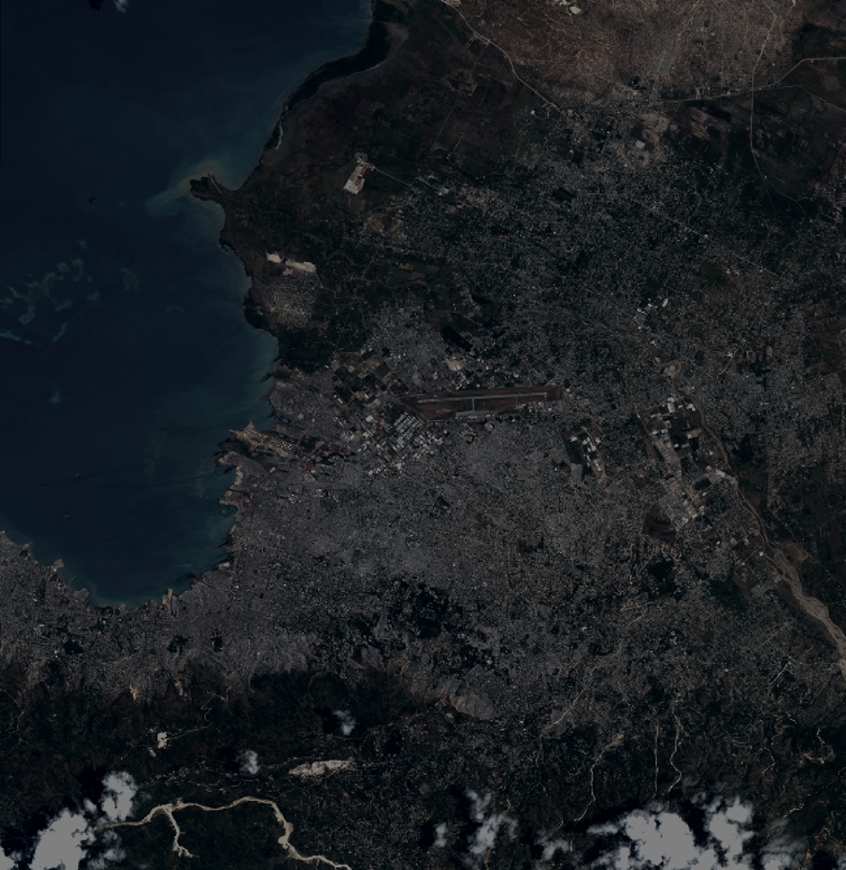
Quicklook
Copyright