TYPE:
SENSOR
LAYER:
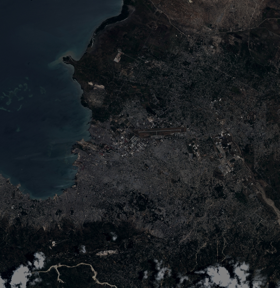
DS_PHR1A_201207191533391_SE1_PX_W073N18_0914_01934
FORMAT:
DIMAP
RASTER:
image/jp2
General Information
Map Name
Geometric Processing Level
Radiometric Processing Level
BASIC
Image dimensions
Number of columns
10375
Number of rows
10670
Number of spectral bands
4
Dataset framing
Vertice
Longitude (DEG)
Latitude (DEG)
Row
Col
#1
-72.40137094704001
18.66741860263163
1
#2
-72.2109209456857
18.66766822711964
#3
-72.21135431367799
18.47456518597301
#4
-72.40195859845882
18.47494443741344
Dataset sources
PHR
Coordinate Reference System
Projected Coordinate System
Geocoding tables identification
EPSG(6.3)
Production
Production Date
2012-07-30T16:08:11.326
Job identification
565234101-004
Dataset Producer Identification
SISA
Producer link
http://www.spotimage.fr
Quicklook
Copyright