TYPE:
SENSOR
LAYER:
DS_PHR1A_201207191533392_SE1_PX_W073N18_0914_01830
FORMAT:
DIMAP
RASTER:
image/jp2
General Information
Map Name
Geometric Processing Level
Radiometric Processing Level
BASIC
Image dimensions
Number of columns
39564
Number of rows
40930
Number of spectral bands
4
Dataset framing
Vertice
Longitude (DEG)
Latitude (DEG)
Row
Col
#1
-72.39916666302501
18.66254552382361
1
#2
-72.21052382360895
18.66273055764002
#3
-72.21122389718778
18.47928484807624
#4
-72.39969223826871
18.47968920977491
Dataset sources
PHR
Coordinate Reference System
Projected Coordinate System
Geocoding tables identification
EPSG(6.3)
Production
Production Date
2013-10-21T16:00:24.609
Job identification
690805101-002
Dataset Producer Identification
Astrium Services / Spot Image
Producer link
http://www.astrium-geo.com
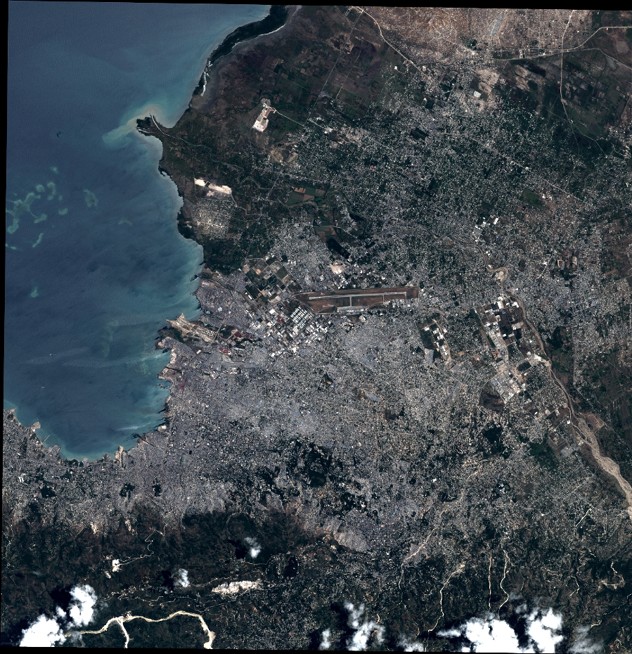
Quicklook
Copyright