TYPE:
SENSOR
LAYER:
DS_PHR1A_201207191533285_SE1_PX_W073N18_0914_01820
FORMAT:
DIMAP
RASTER:
image/jp2
General Information
Map Name
Geometric Processing Level
Radiometric Processing Level
BASIC
Image dimensions
Number of columns
39557
Number of rows
40282
Number of spectral bands
4
Dataset framing
Vertice
Longitude (DEG)
Latitude (DEG)
Row
Col
#1
-72.39929784148444
18.66257084904757
1
#2
-72.21035274591065
18.66098318361044
#3
-72.21097424125777
18.47930002319612
#4
-72.39958583837256
18.48110827841363
Dataset sources
PHR
Coordinate Reference System
Projected Coordinate System
Geocoding tables identification
EPSG(6.3)
Production
Production Date
2013-10-21T15:59:07.812
Job identification
690805101-001
Dataset Producer Identification
Astrium Services / Spot Image
Producer link
http://www.astrium-geo.com
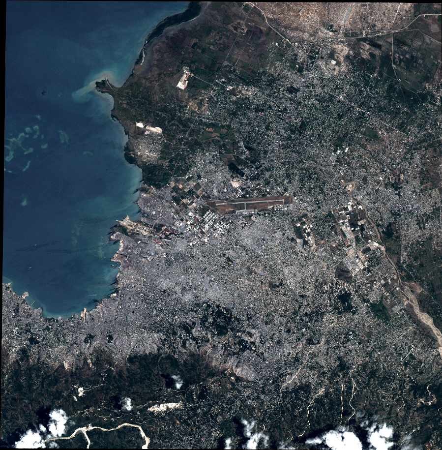
Quicklook
Copyright