|
PHR
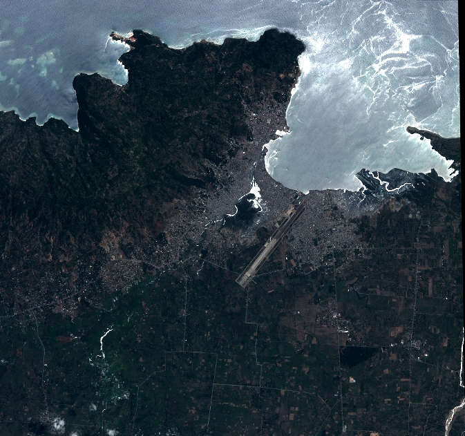
| DS_PHR1A_201207121537461_SE1_PX_W073N19_1018_01427 |
|
| ID | DS_PHR1A_201207121537461_SE1_PX_W073N19_1018_01427 |
| DATE | 2012-07-12 |
| TIME | 15:37:46.1Z |
| INSTRUMENT | PHR1A |
|
|
|
| |
|
| ID | |
| DATE | |
| TIME | |
| INSTRUMENT | 1A |
|
|
|
| |
|
| ID | |
| DATE | |
| TIME | |
| INSTRUMENT | 1A |
|
|
|
| |
|
| ID | |
| DATE | |
| TIME | |
| INSTRUMENT | 1A |
|
|
|
| |
|
| ID | |
| DATE | |
| TIME | |
| INSTRUMENT | 1A |
|
|