TYPE:
ORTHO
LAYER:
DS_PHR1A_201203131517554_SE1_PX_W073N18_0713_00826
FORMAT:
DIMAP
RASTER:
image/jp2
General Information
Map Name
Geometric Processing Level
Radiometric Processing Level
BASIC
Image dimensions
Number of columns
53015
Number of rows
20774
Number of spectral bands
4
Dataset framing
Vertice
Longitude (DEG)
Latitude (DEG)
Row
Col
#1
-72.60992991404841
18.57165536627383
1
#2
-72.35896348579865
18.5683067109641
#3
-72.36040349893561
18.47453218828836
#4
-72.61123342296747
18.47786274084875
Dataset sources
PHR
Coordinate Reference System
Projected Coordinate System
Geocoding tables identification
EPSG(6.3)
Projected Coordinate System name
32618
Projected Coordinate System code
urn:ogc:def:crs:EPSG::32618
Geoposition
Upper - Left Map X Coordinate
752249.5
Upper - Left Map Y Coordinate
2055110
Image sampling
0.5 x 0.5
Production
Production Date
2015-09-02T14:48:39.510
Job identification
1453953101-001
Dataset Producer Identification
AIRBUS DS GEO
Producer link
http://www.geo-airbusds.com
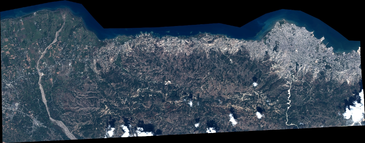
Quicklook
Copyright