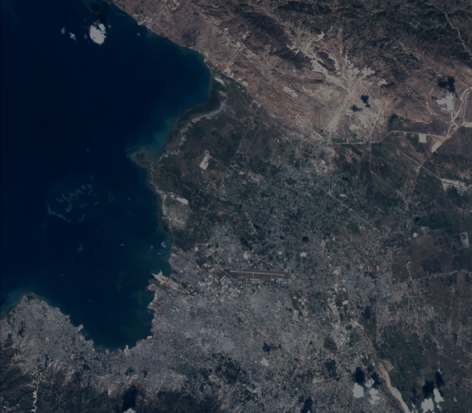
TYPE:
SYSTEM_SENSOR
LAYER:
DS_PHR1A_201203131517368_SE1_PX_W073N18_0915_01650
FORMAT:
DIMAP
RASTER:
image/jp2
General Information
Map Name
Geometric Processing Level
Radiometric Processing Level
BASIC
Image dimensions
Number of columns
10375
Number of rows
9087
Number of spectral bands
4
Dataset framing
Vertice
Longitude (DEG)
Latitude (DEG)
Row
Col
#1
-72.43330008028775
18.6942173355992
1
#2
-72.17345979911735
18.72234504045742
#3
-72.17697436128387
18.52728439022534
#4
-72.42897802717307
18.49868905386922
Dataset sources
PHR
Coordinate Reference System
Projected Coordinate System
Geocoding tables identification
EPSG(6.3)
Production
Production Date
2012-05-29T17:08:03.240
Job identification
IPU_20120529_1612-002
Dataset Producer Identification
Astrium Services / Spot Image
Producer link
http://www.astrium-geo.com/
Quicklook
Copyright