TYPE:
SENSOR
LAYER:
DS_PHR1A_201112311529365_FR1_PX_W073N18_0813_03577
FORMAT:
DIMAP
RASTER:
image/jp2
General Information
Map Name
Geometric Processing Level
Radiometric Processing Level
BASIC
Image dimensions
Number of columns
41500
Number of rows
79316
Number of spectral bands
1
Dataset framing
Vertice
Longitude (DEG)
Latitude (DEG)
Row
Col
#1
-72.44331961223563
18.71909137468138
#2
-72.2538272105393
18.71810840789982
#3
-72.254392130074
18.35713041923135
#4
-72.44307020895565
18.35902279328752
Dataset sources
PHR
Coordinate Reference System
Projected Coordinate System
Geocoding tables identification
EPSG(6.3)
Production
Production Date
2012-05-29T15:20:00.148
Job identification
IPU_20120529_1249-001
Dataset Producer Identification
Astrium Services / Spot Image
Producer link
http://www.astrium-geo.com/
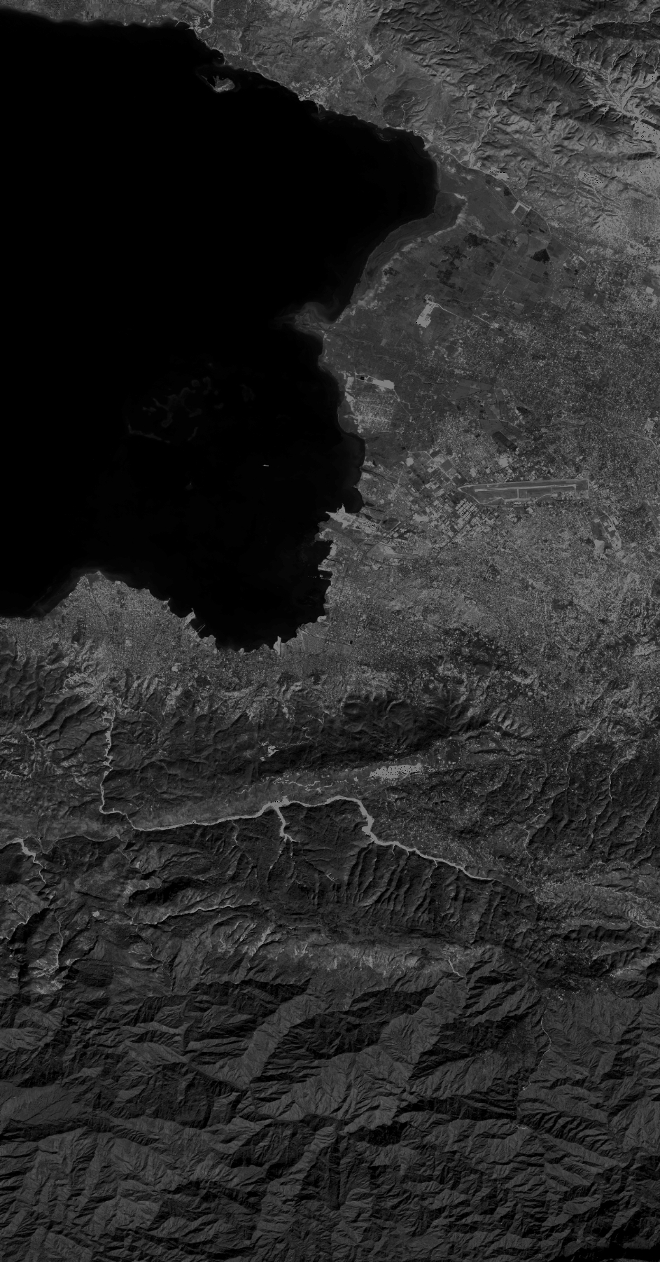
Quicklook
Copyright