TYPE:
SENSOR
LAYER:
DS_PHR1A_201112311529365_FR1_PX_W073N18_0813_03577
FORMAT:
DIMAP
RASTER:
image/jp2
General Information
Map Name
Geometric Processing Level
Radiometric Processing Level
BASIC
Image dimensions
Number of columns
10375
Number of rows
19829
Number of spectral bands
4
Dataset framing
Vertice
Longitude (DEG)
Latitude (DEG)
Row
Col
#1
-72.44332651740865
18.71909821592197
1
#2
-72.25383394147246
18.71811478214939
#3
-72.25439887149595
18.3571367294848
#4
-72.44307701875795
18.3590294790168
Dataset sources
PHR
Coordinate Reference System
Projected Coordinate System
Geocoding tables identification
EPSG(6.3)
Production
Production Date
2012-05-29T15:23:11.256
Job identification
IPU_20120529_1249-002
Dataset Producer Identification
Astrium Services / Spot Image
Producer link
http://www.astrium-geo.com/
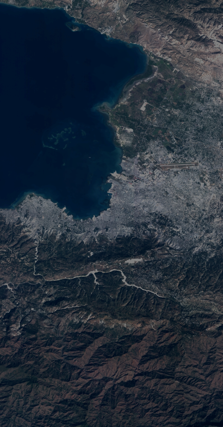
Quicklook
Copyright